
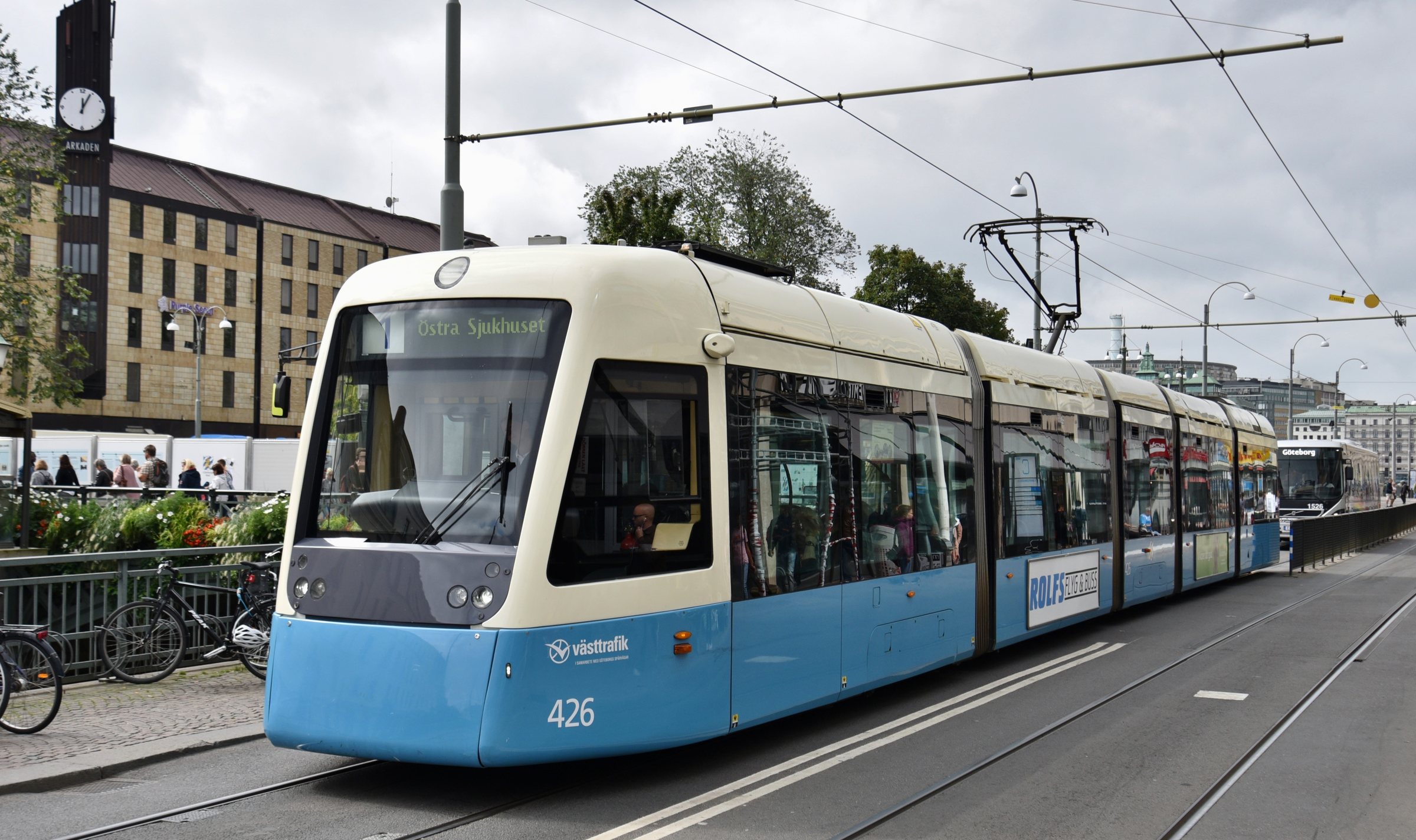
Gothenburg tram map
The whole network on one map — 13 lines and 132 stops. Download the map as a PNG or PDF below.
Line map of the Gothenburg tram network
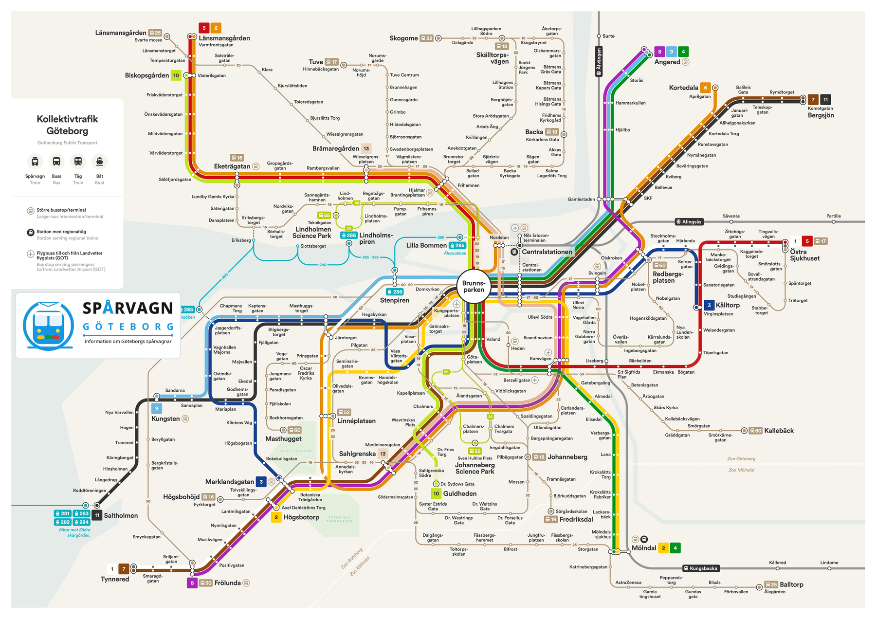
Map artwork: Jens Svanfelt / transitmap.net. For live disruptions and diversions, see Västtrafik To Go.
Gothenburg tram map PDF — free download
Download an up-to-date map of the Gothenburg tram network in PDF format — it stays razor-sharp when printed or zoomed and works offline: the lines, the 132 stops and the interchanges always at hand, even without internet.
The lines and their colours
The biggest interchanges
At the hubs you change between lines on the same platform or just across the street — singles are valid for 90 minutes with free transfers, so changing costs nothing extra.
Frequently asked questions
The network has 132 stops on 13 lines with a total track length of about 161 km — the largest tram system in the Nordics.
Right on this page — click “Map as PDF” and the file is saved to your device. The map is also available as a PNG. Both are free and suitable for printing and offline use.
Brunnsparken — nearly every line passes through it. Other big hubs are Drottningtorget by the Central Station, Korsvägen, Järntorget and Gamlestads Torg.
The map shows the network after the big timetable change of December 2025, when the new line 12 to Lindholmen opened. During temporary track works lines can be rerouted — check Västtrafik To Go before travelling.